South Up World MapContour & CoastFramed from $108.99
Contour & Coast by Paperlust
Contour & Coast: World Map Prints
Contour & Coast is our own line of ready-made map prints, built from real map data and made in three editions.
Designed by our talented team in Melbourne using digital tools.
Style
Color
Room
Size
Format
South Up World MapContour & CoastFramed from $108.99 The World, Centred on GreenwichContour & CoastFramed from $108.99
 Black and White World MapContour & CoastFramed from $108.99
 Painted World MapContour & CoastFramed from $108.99
 Kids World Map with AnimalsContour & CoastFramed from $108.99
 The Ocean Floor MapContour & CoastFramed from $108.99
Shop the look
Who makes Contour & Coast maps?
Contour & Coast is our own house brand, so the brand name is the byline and no individual mapmaker is credited on the artwork. Each piece is made digitally from source map data, then printed on paper or canvas.
Where does the map data come from?
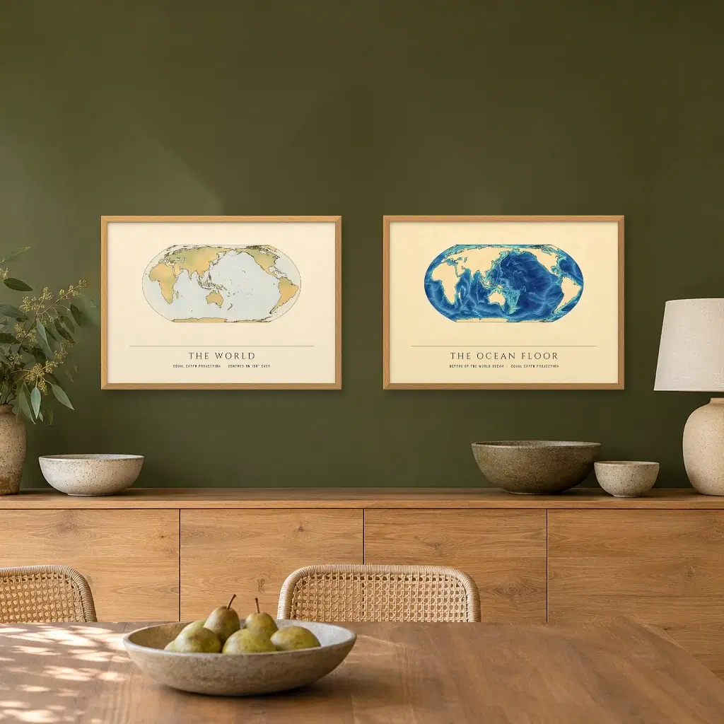
Coastlines come from Natural Earth, and the shape of the seabed comes from GEBCO 2020. World maps here use the Equal Earth projection and leave country borders off. The source credit sits on the artwork page for each map.
What are the editions?
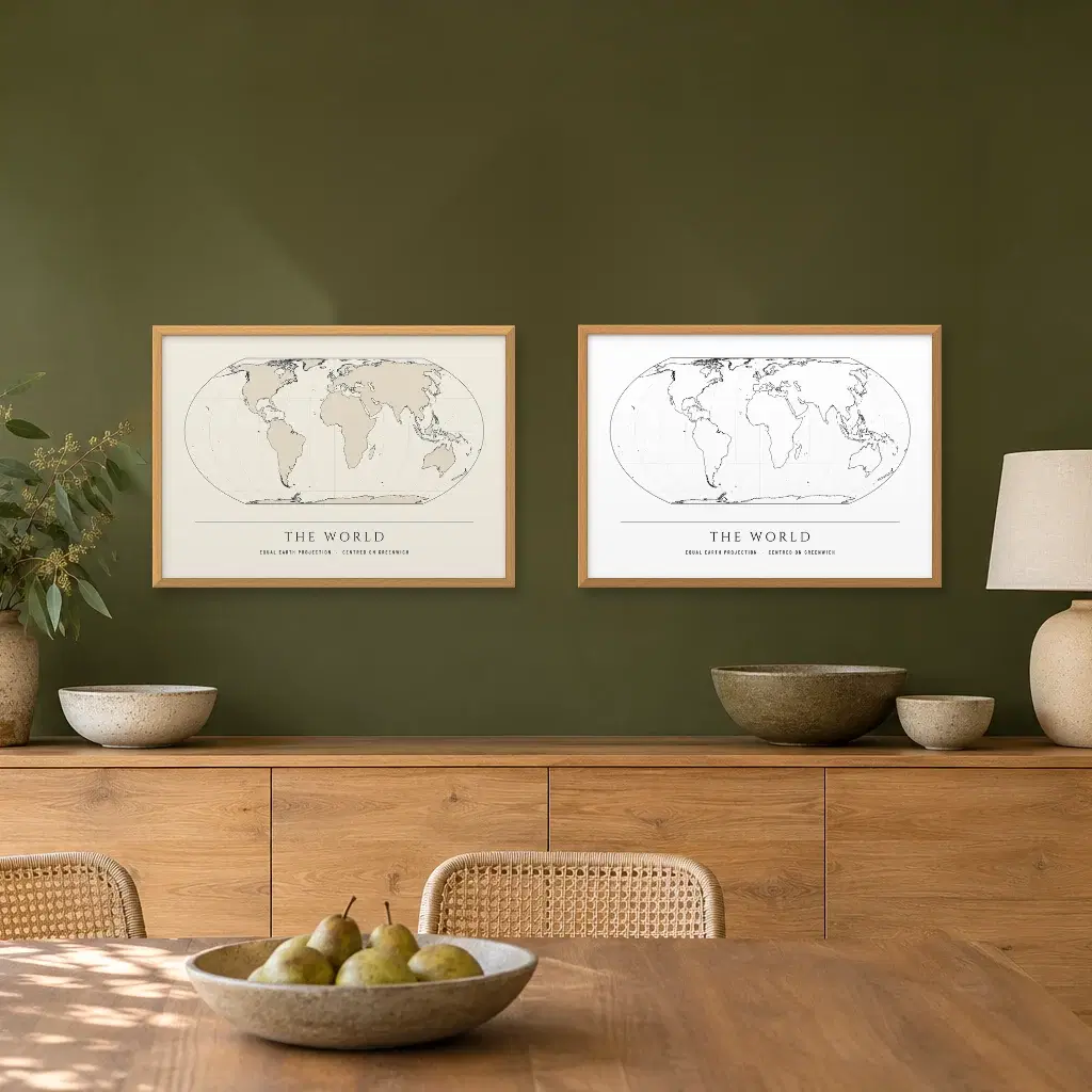
Three editions cover the range. Line pairs a thin ink stroke with a cream ground and a gentle land tint. Mono keeps the same lines in black on white. The third softens the surface into a painted look, with the true coastline laid over it.
Is it painted or printed?
Every map is printed. Each one is made digitally and printed on paper or canvas depending on the format you pick. The painted look comes from the file rather than a brush, so the coastline underneath stays accurate.
Can I buy a pair?
There are no matched pairs of these maps on the US site yet. You can still hang any two together. Pick the same size and the same frame finish, keep the gap even, and they read as one set.
What does shipping cost?
Shipping is chosen at checkout, where the options and the price for your address appear before you pay. Every order is printed in the USA and shipped from there.
Frequently Asked Questions
Who makes Contour & Coast maps?
Contour & Coast is our own house brand, so the brand name is the byline and no individual mapmaker is credited on the artwork. Each piece is made digitally from source map data, then printed on paper or canvas.
Where does the map data come from?
Coastlines come from Natural Earth, and the shape of the seabed comes from GEBCO 2020. World maps here use the Equal Earth projection and leave country borders off. The source credit sits on the artwork page for each map.
What are the editions?
Three editions cover the range. Line pairs a thin ink stroke with a cream ground and a gentle land tint. Mono keeps the same lines in black on white. The third softens the surface into a painted look, with the true coastline laid over it.
Is it painted or printed?
Every map is printed. Each one is made digitally and printed on paper or canvas depending on the format you pick. The painted look comes from the file rather than a brush, so the coastline underneath stays accurate.
Can I buy a pair?
There are no matched pairs of these maps on the US site yet. You can still hang any two together. Pick the same size and the same frame finish, keep the gap even, and they read as one set.
What does shipping cost?
Shipping is chosen at checkout, where the options and the price for your address appear before you pay. Every order is printed in the USA and shipped from there.
Learn More
Every coastline traces back to a named source
Contour & Coast map prints begin with data, not with a sketch. Coastlines are drawn from Natural Earth, so a bay, a cape or an island sits where it genuinely sits. Country borders are left off, and only the coastline appears. The deep comes from GEBCO 2020, a project begun in 1903 under Prince Albert I of Monaco to chart the shape of the sea bed.
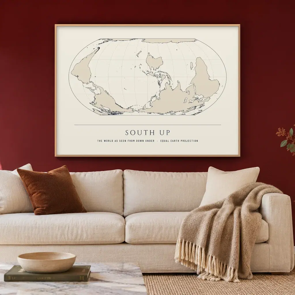
World maps here use the Equal Earth projection, introduced in 2018 by Bojan Šavrič, Bernhard Jenny and Tom Patterson. It is equal-area, so each land keeps its true proportions against the rest. Mercator makes Greenland look bigger than the whole of Africa. An equal-area map does not. It takes inspiration from the Robinson projection, though unlike Robinson it holds the relative size of areas.
Line, Mono and the softer surface
Line sets a fine ink stroke over a cream ground, with a gentle land tint. It reads quietly, which suits a hallway, a study or a bedroom where the map is not the loudest thing on the wall.
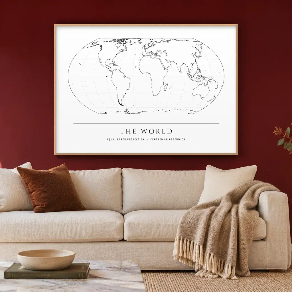
Mono strips out the cream and the tint and leaves a black line on white. Contrast does the work, so it holds its own next to dark frames and pale paint.
The third takes a painted look: the surface softens, then the true coastline is laid back over it so the shape stays accurate. It suits a room where you would rather the map felt like a picture than a diagram.
World maps, a map for kids, and the deep ocean
Map wall art has to fit the wall, so start with the layout. The South Up World Map flips the usual view, a reminder that many people who speak English treat up as north and down as south, though no map has to agree. The Black and White World Map gives the same coastlines the Mono treatment.
Kids World Map with Animals brings the coastline into a child's room. The Ocean Floor Map turns the view to the seabed, where GEBCO data sets the shape.
Each piece comes as an art print, a framed print or a canvas, like the rest of our wall art collection. Framed prints use a slim wood frame in oak look, black or white, with clear acrylic up front and a white mat if you want one. Canvas is 400gsm, wrapped around a stretcher about 1.5 in deep, with mirrored edges that keep the whole picture on the front. No hanging hardware comes in the box. Sizes vary by map, and a piece appears in a size only when it fills that shape with a slight trim and holds enough detail. The preview image shows the crop you will receive.
Where the credit sits
Each artwork page that uses Natural Earth or GEBCO data shows its own credit line, so you can trace a coastline or a trench to its source before you order. The title and subtitle in the foot band are set by our team, and the geography under them is not invented.
If you want older geography, the antique maps collection carries prints of old maps and sea charts from library collections, sold under the mapmaker's name. Every edition here also sits in the full map collection, so you can compare formats.
How these maps are made
Designed by our talented team in Melbourne using digital tools.
Every order is printed and shipped in the USA, with shipping options chosen at checkout.